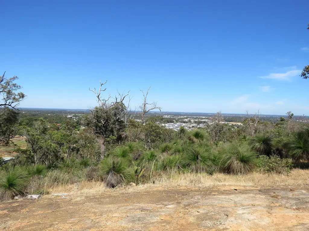
The Shire of Serpentine-Jarrahdale covers the area south-east of Perth between the Armadale area and the Peel region. It mixes fast-growing suburbs on the plain with farmland, forest and national park on the Darling Scarp. Its administrative centre is Mundijong.
Towns
| Town | Character | Guide |
|---|---|---|
| Byford | Growing town, cafés | Byford |
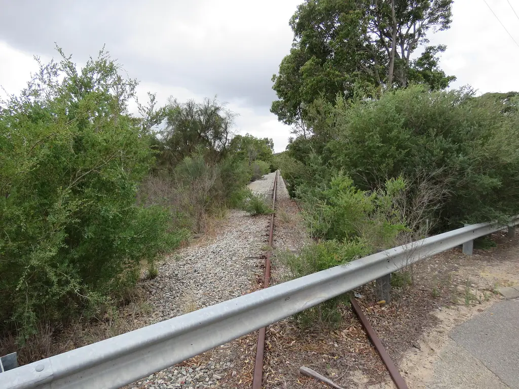
| Mundijong | Shire centre, rail heritage | Mundijong |
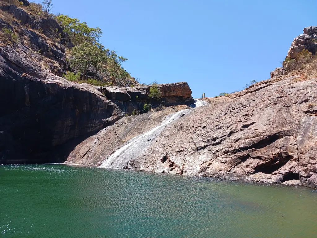
| Serpentine | Rural village near the falls | Serpentine Falls |
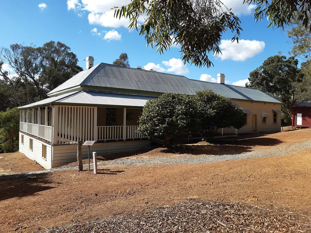
| Jarrahdale | Heritage timber town | Jarrahdale |
Highlights
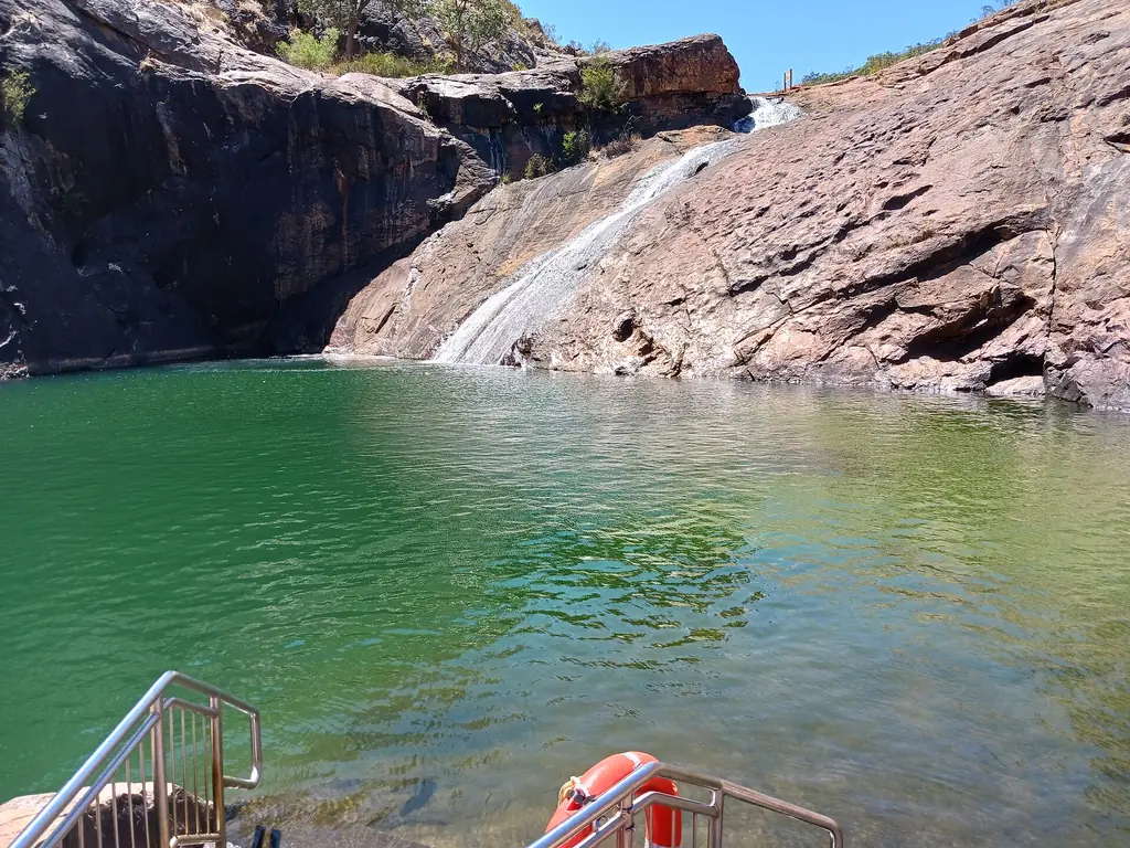
- Serpentine National Park and the falls.
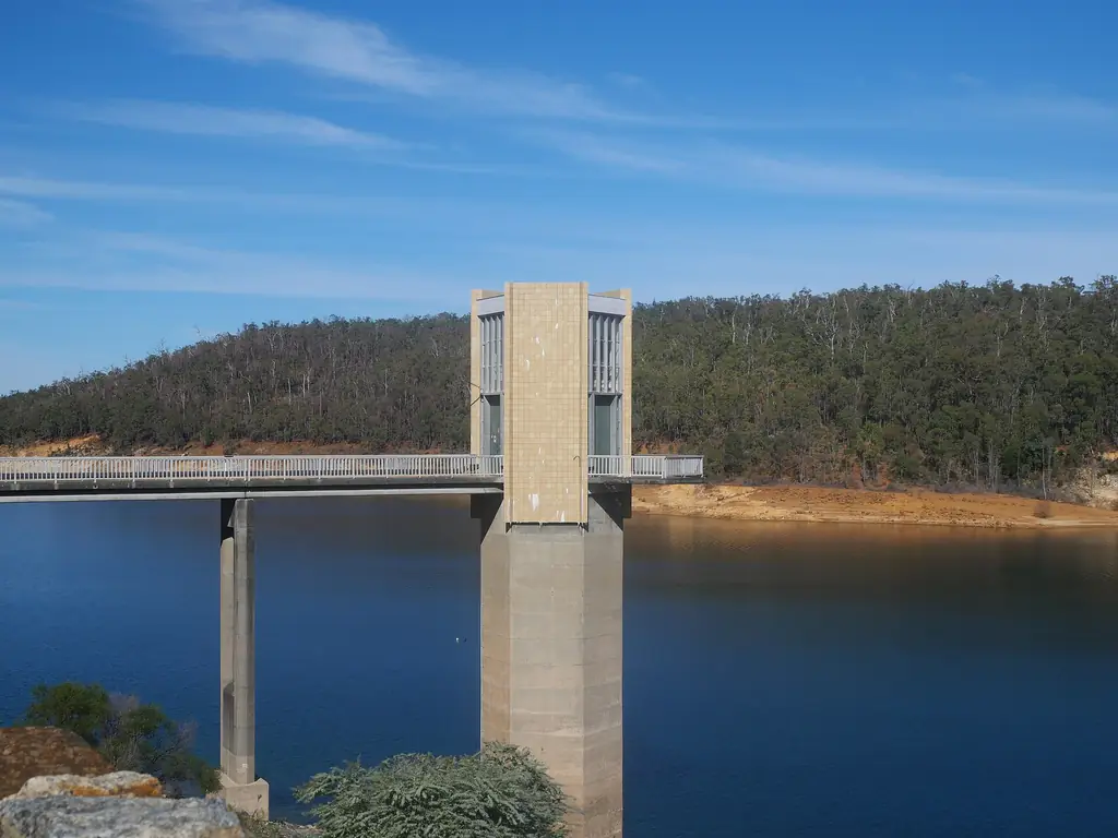
- Serpentine Dam and Pipehead Dam.
- Kitty’s Gorge.
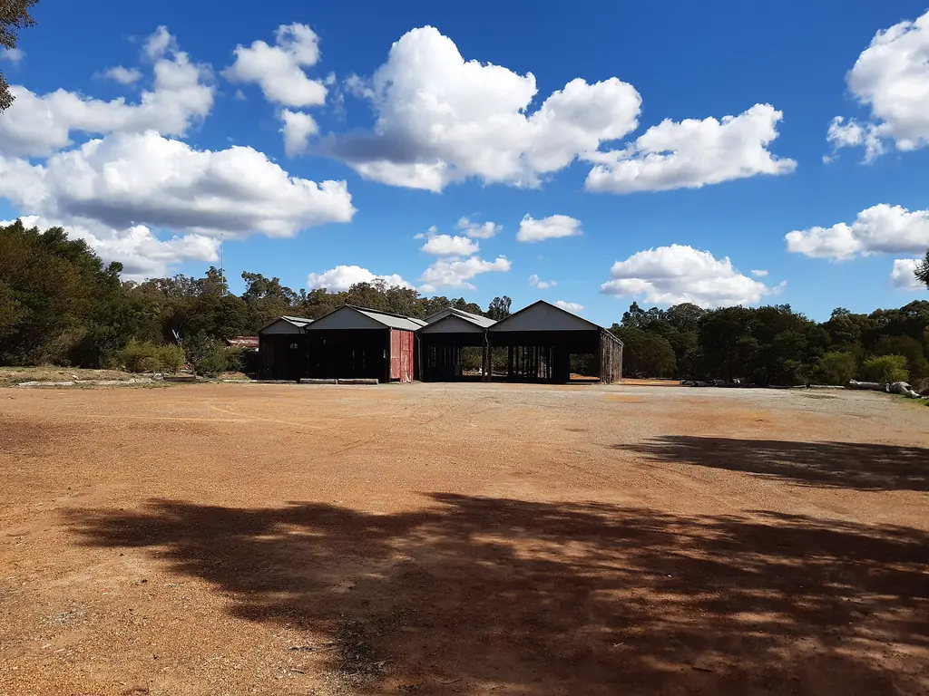
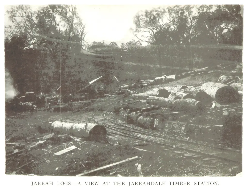
- Jarrahdale’s heritage precinct.
Visiting
Most visitors come for a day from Perth. See our day trip and complete guide.
Getting around
The South Western Highway and Tonkin Highway connect the shire’s towns with Perth. A car is essential for the parks and hills; public transport is limited outside the main towns.
Frequently asked questions
Where is the Shire of Serpentine-Jarrahdale?
South-east of Perth, between the Armadale area and the Peel region.
What is the shire centre?
Mundijong.
What are the main attractions?
Serpentine Falls, Serpentine Dam, Kitty’s Gorge and Jarrahdale.
How far is the shire from Perth?
Its northern towns are about 40 minutes from the CBD; the falls about an hour.
Is the shire good for a day trip?
Yes — the falls, dam and Jarrahdale fit into one day.